 Biking
 Login
Login More
More EN
EN Premium
Via the Brabantse Wal to Bergen op Zoom
automatic translation
69 km • Halderberge
4832 0 0/5

 Addresse starting point (approximate)
Pastoor Van Breugelstraat 42h, 4744RB Halderberge, NL
 signage
The route is fully signposted with nodes.
 Description
From Bosschenhoofd, our cycling tour heads south to Rucphen, where we turn off just before the village center towards De Heimolen.
Shortly after, we pass through the Visdonkse Forest and cycle through the Burgemeester Marijnenpark in Roosendaal, leaving the urban area again via Tolberg Park.
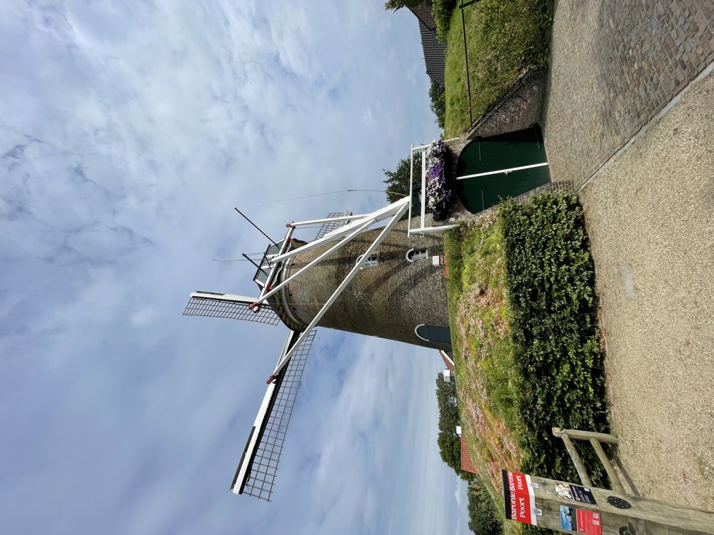
Through the village of Wouwse Plantage, we reach the Brabantse Wal. Our journey goes through this remarkable landscape located in West Brabant on the border with Zeeland and Flanders.
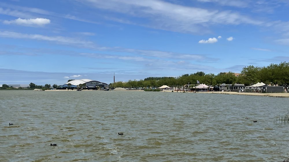
We ride back north through the Augustapolder, cycling along the beautiful boulevard lined with cozy terraces on the shores of the Binnenschelde in Bergen op Zoom.
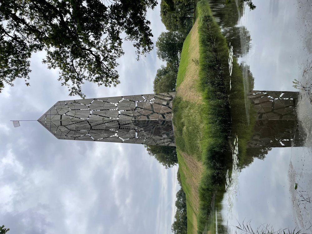
Further along, we connect with the Waterlinie route up to Fort De Roovere with its splendid observation tower Pompejus.
From here, we proceed through the beautiful nature of Bergen op Zoom North towards the Zeeuwse Lijn to eventually reach Roosendaal.
Through the northern edge of Roosendaal, we return to our starting point.
automatic translation
 nodes to follow
0 km
0.8 km
1.1 km
1.2 km
1.2 km
2.6 km
4.6 km
5.3 km
8.7 km
9.7 km
12.6 km
12.8 km
13.8 km
14.9 km
15.9 km
17.4 km
17.5 km
18.9 km
18.9 km
19.8 km
19.8 km
19.8 km
21.1 km
24.4 km
26.9 km
29.2 km
33.7 km
33.7 km
33.8 km
34 km
34.5 km
36.5 km
37.2 km
39.1 km
40.3 km
42.2 km
43 km
43.7 km
47 km
49.6 km
50.7 km
52.3 km
52.8 km
52.8 km
52.8 km
55.6 km
55.6 km
55.6 km
56.5 km
56.5 km
56.5 km
61.8 km
65.1 km
68.3 km
69 km


 Upgrade to Premium Plus
