 Biking
 Login
Login More
More EN
EN Premium
Willemstad - Hollandsch Diep
automatic translation
62 km • Halderberge
5371 1 1.5/5

 Addresse starting point (approximate)
Pastoor Van Breugelstraat 42h, 4744RB Halderberge, NL
 signage
The route is fully signposted with nodes.
 Description
We start this bike tour at junction 84 in Bosschenhoofd and ride via Oudenbosch in a northwesterly direction through the beautiful flat Brabant countryside.
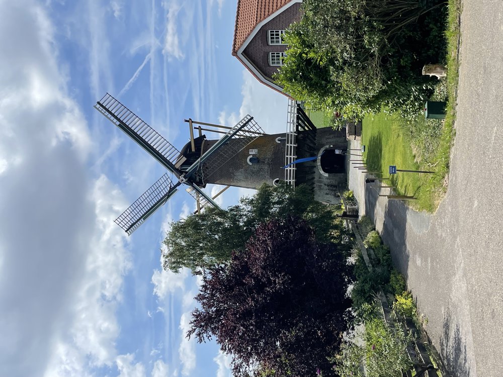
We cross the river Dintel and pass a beautiful old mill in, yes, the village of Oudemolen.
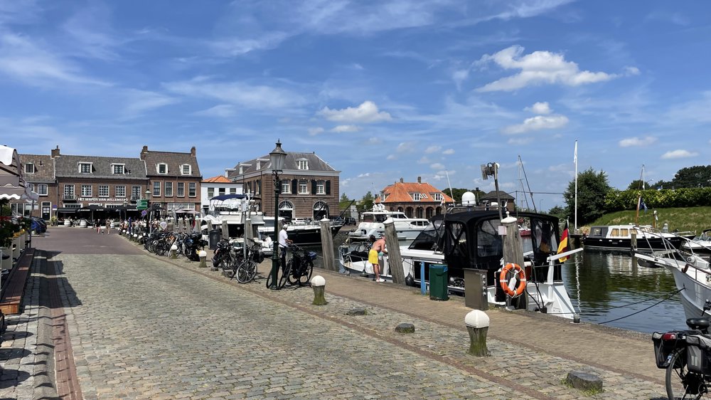
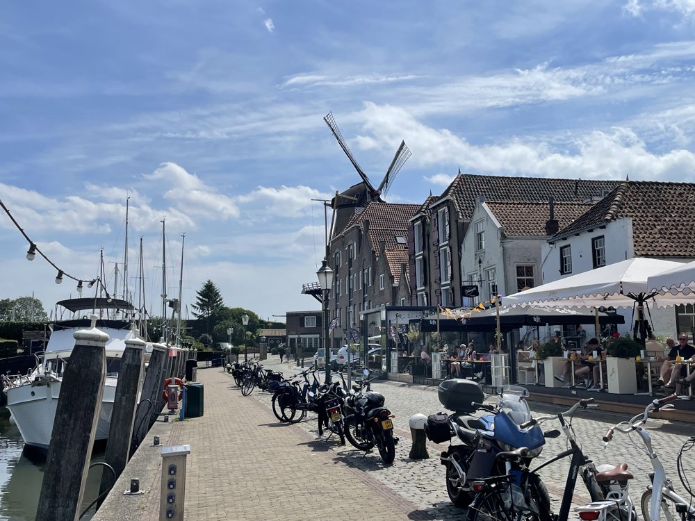
We continue our bike route towards the fortified town of Willemstad. Time to enjoy this cozy town, located at the point where Volkerak and Hollandsch Diep meet, and relax on a pleasant terrace on the Benedenkade with a view of the boats moored in the Stadshaven.
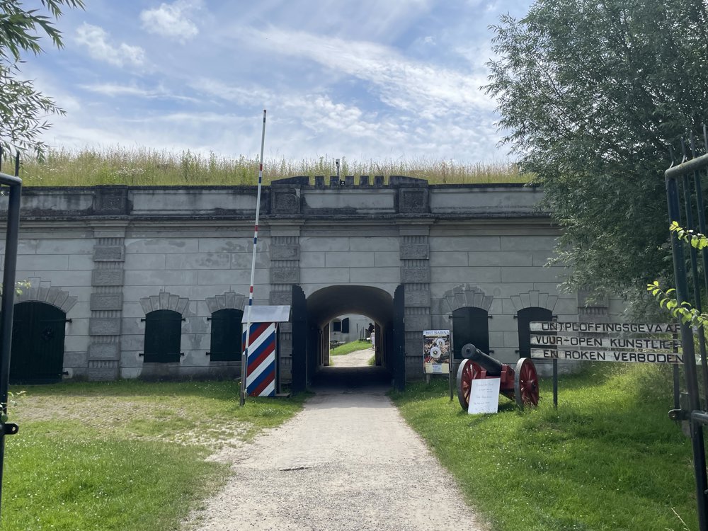
From Willemstad, this bike tour follows the Waterlinieroute to Dinteloord. The routes of the Dutch Waterlines are recognized UNESCO World Heritage sites. We pass Fort Sabina and continue our ride towards Dintelsas, where we cross the river Dintel again over a drawbridge.
Via Stampersgat, Oud Gastel, and Zegge we return to the starting point in Bosschenhoofd.
automatic translation
 nodes to follow
0 km
3.3 km
3.8 km
6.5 km
8.7 km
9 km
10.8 km
11.6 km
11.9 km
11.9 km
15.2 km
15.3 km
15.3 km
22 km
25.1 km
27.1 km
30.2 km
33.9 km
37.5 km
43.1 km
45.7 km
47.9 km
49 km
49 km
49.1 km
49.1 km
52.1 km
52.2 km
52.2 km
54.8 km
58.1 km
61.3 km
62 km


 Upgrade to Premium Plus
