 Biking
 Login
Login More
More EN
EN Premium
Lieteberg - Munsterbos - Cycling through the Heath
automatic translation
59.3 km • Zutendaal
6930 0 0/5

 Addresse starting point (approximate)
Broekmolenweg 1, 3690 Zutendaal, BE
 signage
The route is fully signposted with nodes.
 Description
This bike ride starts at Lieteberg Zutendaal where we head towards junction 64 and continue our journey through a wooded area to then cross the Albert Canal and reach the Munsterbos nature reserve.
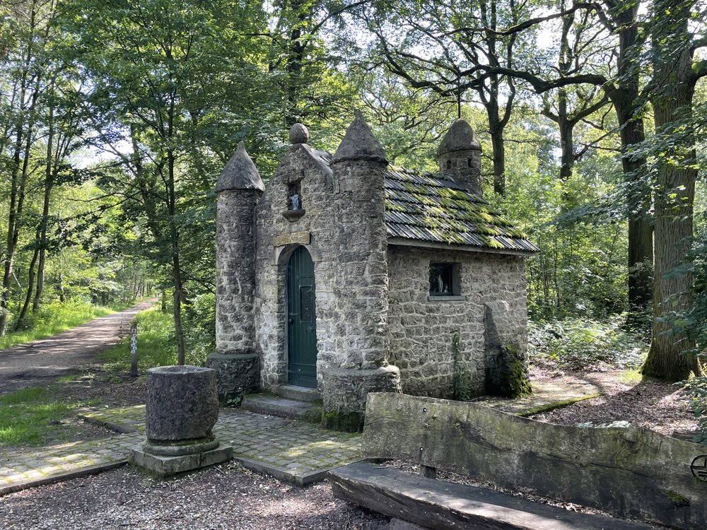
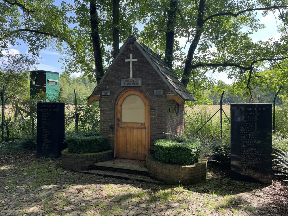
We cross the Munsterbos via an unpaved path and pass the Sint-Amorkapel and the Weerstandskapel in succession.
Then we go through the domain forest of Groenendaal, Eigenbilzen, and Gellik right through the center of Lanaken.
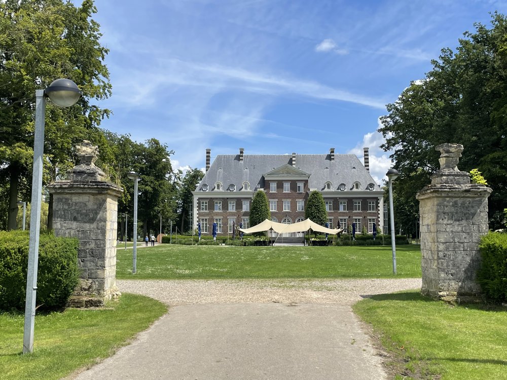
We reach the Briegden - Neerharen canal and follow the towpath, then turn towards Pietersheim where we cycle between the castle and the water fortress.
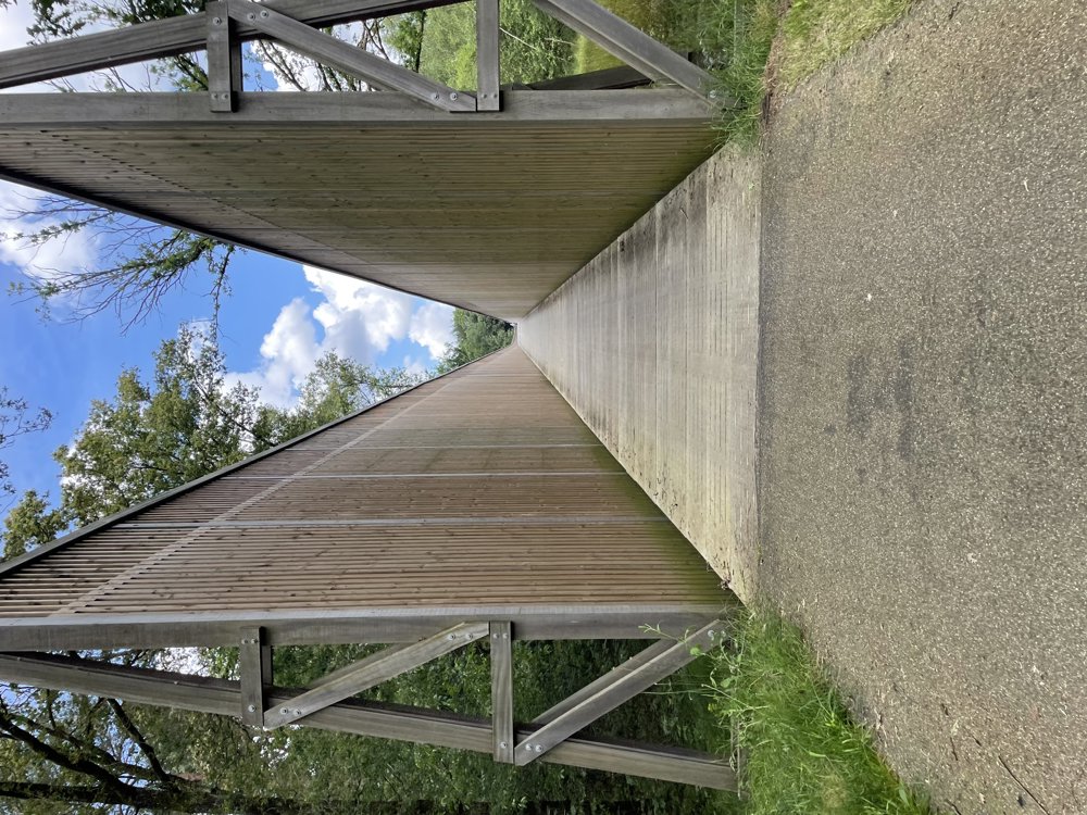
Through beautiful nature, we pass the Neerharerheide. At junction 550, a bridge with beautiful wooden walls announces the start of 'Cycling through the Heath'. Here we cycle through the Mechelse Heide and then head towards As, descending through the beautiful forests of NP Hoge Kempen to Zutendaal. Via the center of Zutendaal, we reach our starting point again.
automatic translation
 nodes to follow
0 km
2 km
2 km
2.1 km
2.1 km
3.1 km
4.9 km
8.1 km
11 km
14.7 km
16.7 km
17.7 km
23.4 km
28.1 km
28.8 km
32.6 km
35.5 km
37.9 km
42.2 km
42.2 km
42.2 km
45.1 km
52.1 km
55.4 km
56.6 km
59.3 km


 Upgrade to Premium Plus
