 Biking
 Login
Login More
More EN
EN Premium
Zutendaal: the greenest treat of Limburg
automatic translation
46.5 km • Zutendaal
8991 0 0/5

 Addresse starting point (approximate)
Liseveldweg 1, 3690 Zutendaal, BE
 signage
The route is fully signposted with nodes.
 Description
From the Lieteberg, we cycle through the center of Zutendaal. We pass an abandoned American airfield and head towards the Grotto of Wiemesmeer, a small pilgrimage site.
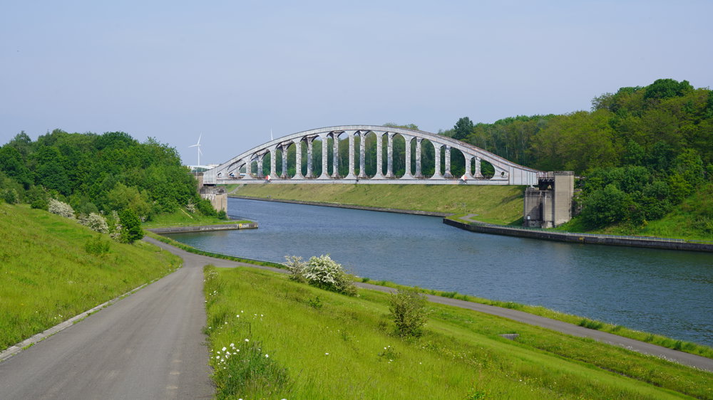
After that, we cycle through the beautiful nature of the Papendaalheide, with some lovely ponds. The toxic Sledderzee is safely enclosed. Via an industrial area, we return to the forests. Further on, we reach the high banks of the Albert Canal. At the abandoned Vierendeel metal bridge, we climb to the church tower of Gellik.
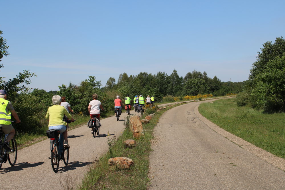
The cycle path takes us to another forest. Via Roelen and Bessemer, we ride through the Neerharenheide. We pass the closed psychiatric center of Rekem towards the Kikmolen pond, then head towards the Mechelse Heide.
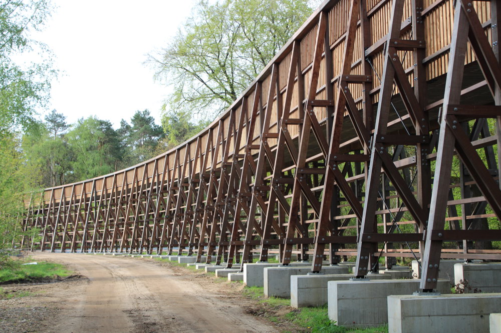
A rolling cycle path brings us to the entrance of Fietsen Door De Heide. The cycle path next to an old gravel pit winds its way to the gigantic cycle bridge, a photogenic spot. We follow the cycle path along the FN factories back to the village.
automatic translation
 nodes to follow
0 km

0.4 km
1.5 km
2.7 km
4.6 km
9.3 km
9.4 km
9.4 km
9.4 km
11.4 km
12.5 km
14.5 km
18 km
23.9 km
27.7 km
31.2 km
34.9 km
35 km
35.1 km
37.1 km
37.1 km
37.2 km
41.4 km
43.8 km
45.4 km

46.5 km


 Upgrade to Premium Plus
