Loading...

The Flemish-Dutch Creeks Route

automatic translation

97.1 km • Maldegem

2811 0 0/5

97.1 km 0.0 km 0.0 km

route offered by

Sylvie Vandezande

Icon starting point Addresse starting point (approximate)

Adegem-Dorp 7, 9991 Maldegem, BE

Icon type signage of route signage

The route is fully signposted with nodes.

5m 5m 5m 5m
Atmosphere image 1 of route The Flemish-Dutch Creeks Route Atmosphere image 2 of route The Flemish-Dutch Creeks Route Atmosphere image 3 of route The Flemish-Dutch Creeks Route
© Sylvie Vandezande

Icon description route Description

After crossing the expressway, cycling along the Schipdonk Canal and the Leopold Canal, we arrived in the Netherlands.

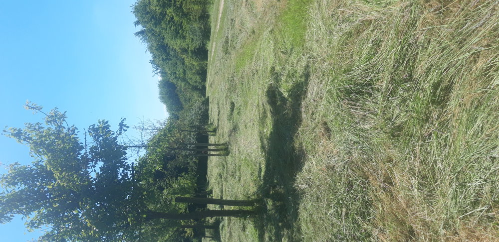
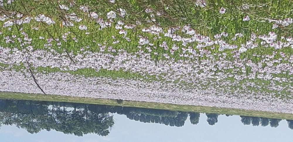
At the Leopold Canal, you could stop for a farm ice cream. The bike ride took us often over dykes that lay between the fields. We regularly passed small woods and creeks.

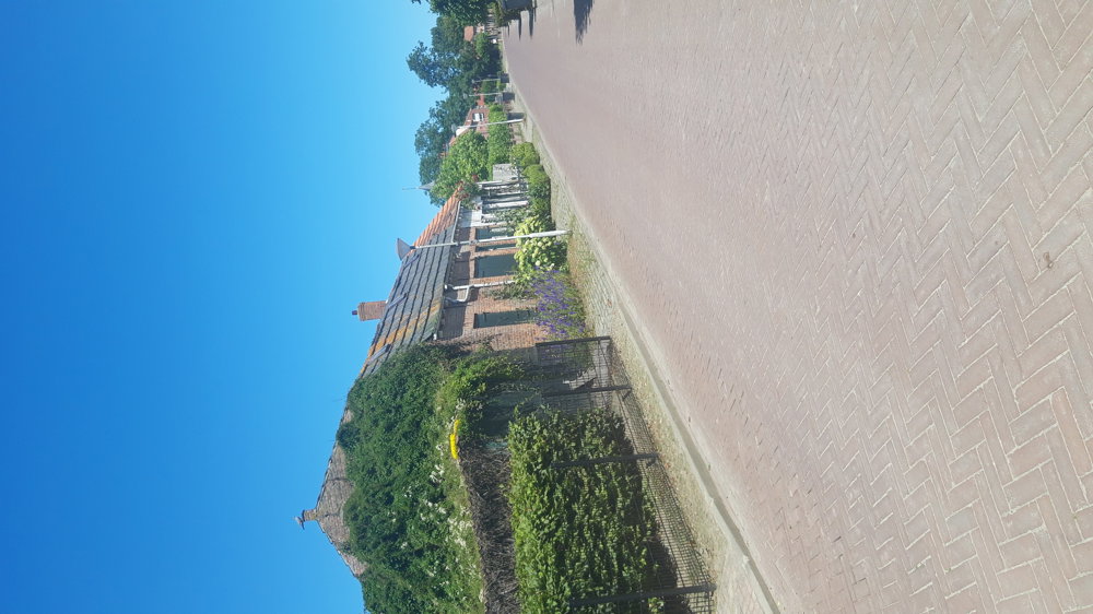
The Dutch villages we encountered were super cozy, including Waterlandkerkje and IJzendijke. The first Protestant pastor was from Geraardsbergen.

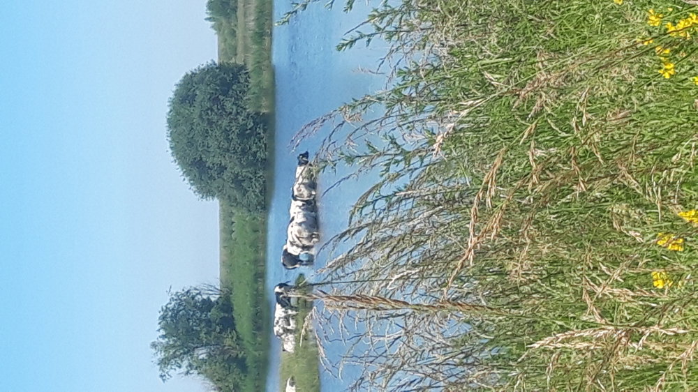
The ride continued along the Scheldt, then inland again, passing through creeks and meadows back to the starting point. It was a quiet route, little traffic, with occasionally a bench overlooking the meadows and tourist information.

automatic translation

Icon nodes to follow nodes to follow

Image node 19
0 km
Image node 17
0.9 km
Image node 21
2.6 km
Image node 15
4 km
Image node 16
4.1 km
Image node 12
6.8 km
Image node 92
9.1 km
Image node 90
9.2 km
Image node 86
12.5 km
Image node 74
15.6 km
Image node 49
18.6 km
Image node 77
21.4 km
Image node 52
27.3 km
Image node 53
30.6 km
Image node 50
34.8 km
Image node 24
39.8 km
Image node 24
39.9 km
Image node 28
41.4 km
Image node 37
43.4 km
Image node 34
44.2 km
Image node 14
47.5 km
Image node 11
48.2 km
Image node 3
48.6 km
Image node 21
51.1 km
Image node 1
53.2 km
Image node 18
55.3 km
Image node 35
56.1 km
Image node 33
57.8 km
Image node 39
62.2 km
Image node 31
65.1 km
Image node 32
65.7 km
Image node 45
66.4 km
Image node 44
67.2 km
Image node 46
69.8 km
Image node 67
74.5 km
Image node 68
75.2 km
Image node 72
76.5 km
Image node 81
80.1 km
Image node 85
81.7 km
Image node 89
83.3 km
Image node 91
84.5 km
Image node 93
86.4 km
Image node 95
89.4 km
Image node 96
91.4 km
Image node 97
92.2 km
Image node 24
94.8 km
Image node 19
97.1 km
This route does not have any reviews yet. Be the first!
Rate route!

Which POI do you want to show on the map?

Experimental cycling network
Unsigned icon

The route you have chosen runs (partly) along an experimental virtual cycling node network (the blue-coloured nodes and sections on the map).

You must be logged in to plan routes here.

Experimental cycling network
Unsigned icon

The route you have chosen runs (partly) along an experimental virtual cycling node network (the blue-coloured nodes and sections on the map).

These routes are not controlled in the field. Before you start cycling here, take a minute to read what an experimental cycling node network is and what rules you should follow when cycling here.