 Biking
 Login
Login More
More EN
EN Premium
NP Utrechtse Heuvelrug - Leersum Forestry
automatic translation
58.3 km • De Bilt
4001 0 0/5

 Addresse starting point (approximate)
Utrechtseweg 60, 3732HB De Bilt, NL
 signage
The route is fully signposted with nodes.

 Description
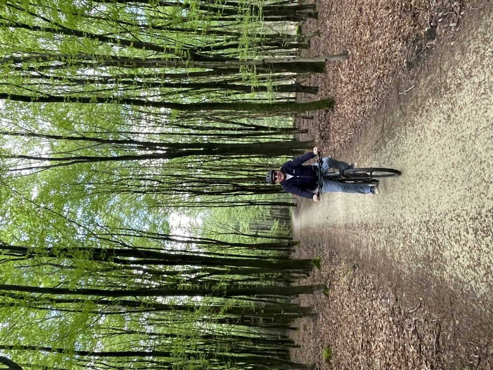
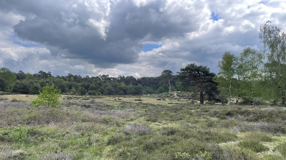
This bike ride leads us through the National Park De Utrechtse Heuvelrug.
From junction 86 at De Holle Bilt, we cycle past Estate Vollenhoven and Estate Oostbroek and through the villages of Bunnik and Odijk along the Kromme Rijn river.
We now continue our journey via Driebergen-Rijsenburg and Doorn, where you can enjoy a terrace, through the Kaapse Woods to the Leersum Forestry.
Constantly surrounded by beautiful nature, we cycle towards the railway, which we follow for a while until Maarsbergen. From Maarsbergen, we go through the Estate Jonge Doornse Bossen to Maarn.
We leave Maarn in the direction of Austerlitz, from where we continue our bike ride to Zeist. We cycle through Zeist to the Amersfoortseweg, which we follow via the parallel bicycle path to the starting point.
automatic translation
 nodes to follow
0 km
2.9 km
3.9 km
5.3 km
5.3 km
5.7 km
5.7 km
5.8 km
9.3 km
10.9 km
12.6 km
12.6 km
14.6 km
14.6 km
14.8 km
16.2 km
16.2 km
21.9 km
24.3 km
28.8 km
32.3 km
32.9 km
38.5 km
42.1 km
42.1 km
42.1 km
44.9 km
44.9 km
46.9 km
50.7 km
50.7 km
51.8 km
51.8 km
52 km
53.2 km
53.3 km
53.3 km
53.3 km
55.9 km
56 km
58.3 km


 Upgrade to Premium Plus
