 Biking
 Login
Login More
More EN
EN Premium
Mont Saint aubert
automatic translation
67.8 km • Tournai
7930 0 0/5

 Addresse starting point (approximate)
Rue Géo Libbrecht 17, 7542 Tournai, BE
 signage
The route is fully signposted with nodes.
 Description
One of the discoveries new to me, thanks to my bike trips, is Mont Saint Aubert.
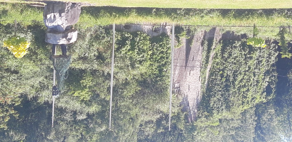
At the top, there are terraces with a beautiful view over the entire region. You can take lovely walks there and it is also worth visiting with children. There is an amusement park with a toboggan run, mini-golf, etc.
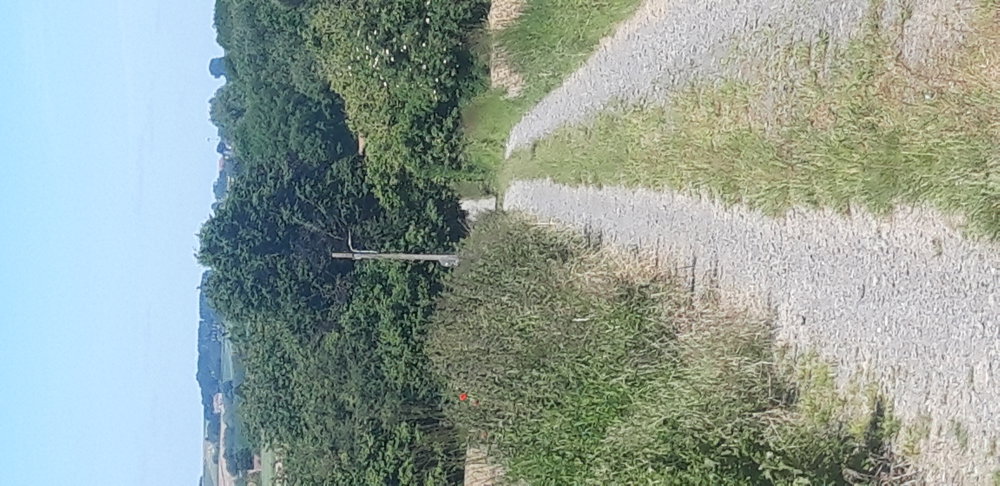
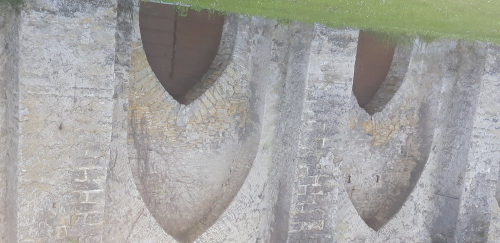
The first part of the route to Bois d'Houtaing involved regular climbs and descents, allowing us to enjoy very beautiful views. Last major climb of the first part: the not-so-steep climb in Bois d'Houtaing. After that, it was a bit less hilly. Through Leuze and Fontenoy, we continued on to the Scheldt. At junction 11, we have to cross the Scheldt via a bridge. But before doing so, we ride a little further to 8 to see the lime kilns (evidence of Tournai's industrial activity in the 19th century) of Chercq. Then, we pass the outskirts of Tournai and prepare for our last major climb.
automatic translation
 nodes to follow
0 km
0.4 km
1.9 km
2.5 km
4.8 km
6.6 km
7.4 km
9.4 km
11 km
12.6 km
13.2 km
13.9 km
14.6 km
17.2 km
17.3 km
20.2 km
20.4 km
22.1 km
23 km
27 km
27.4 km
29.5 km
33.6 km
34.1 km
35.3 km
37.1 km
38 km
38.7 km
40.7 km
41.2 km
42.4 km
44 km
44 km
47.1 km
50.2 km
51.6 km
52.8 km
55.7 km
57.4 km
57.8 km
58.6 km
60.6 km
60.7 km
60.8 km
64.7 km
64.9 km
65.1 km
66.5 km
67.8 km


 Upgrade to Premium Plus
