Loading...

To the picturesque Zoutleeuw along the orchards

automatic translation

94.4 km • Leuven

3961 0 0/5

94.4 km 0.0 km 0.0 km

route offered by

Eric Ceusters

Icon starting point Addresse starting point (approximate)

Willem Coosemansstraat 1, 3010 Leuven, BE

Icon type signage of route signage

The route is fully signposted with nodes.

5m 5m 5m 5m
Atmosphere image 1 of route To the picturesque Zoutleeuw along the orchards
© Eric Ceusters

Icon description route Description

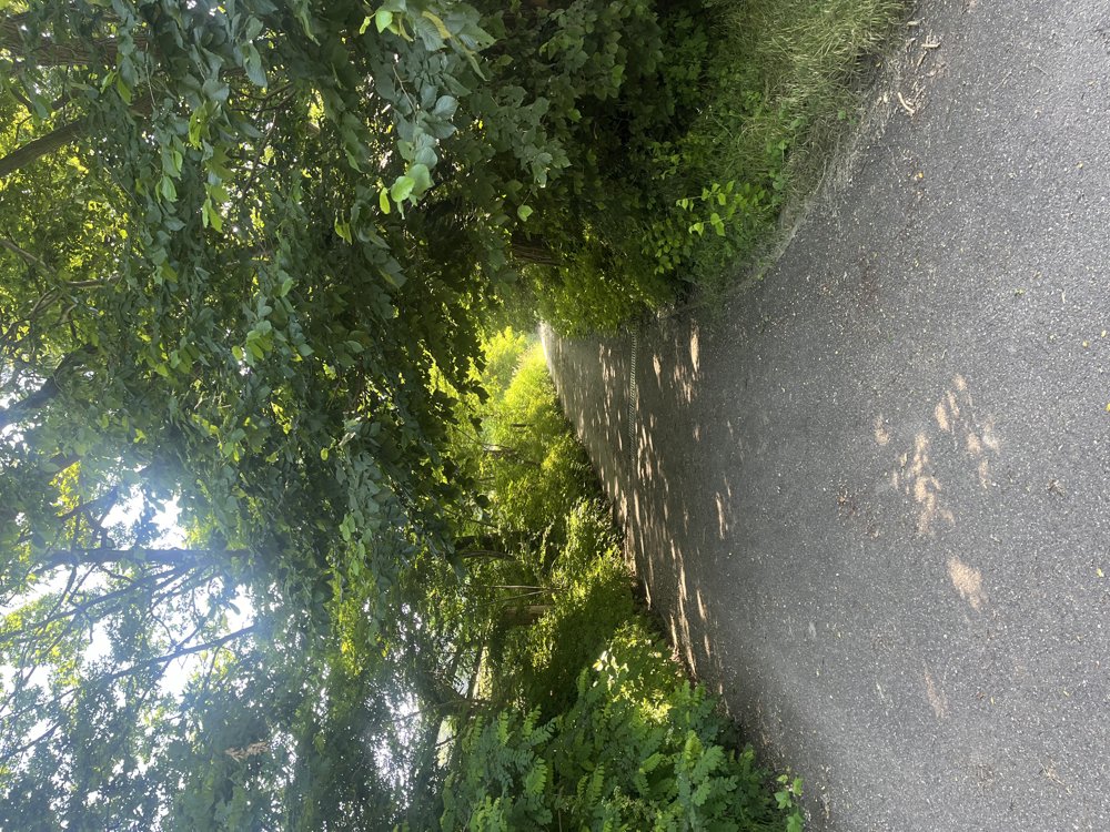
We cycle along the new bike highway to Korbeek-Lo, where we head towards Pellenberg. From here, we follow quiet paths to Tienen, where we take the old tram route to Zoutleeuw.

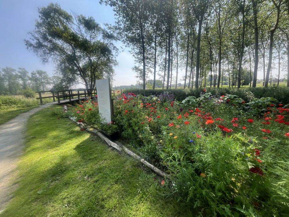
Here, a beautiful loop along the water awaits us. We make a short stop in the beautiful old center of Zoutleeuw, then continue our ride among numerous fruit trees back to Tienen.

From Boutersem, we take the bike highway again, a true boulevard, back to Leuven. Not only beautiful during the blossoms but all year round.

automatic translation

Icon nodes to follow nodes to follow

Image node 11
0 km
Image node 73
1.1 km
Image node 72
2.3 km
Image node 87
2.7 km
Image node 86
5 km
Image node 85
7.6 km
Image node 24
9.9 km
Image node 68
10.7 km
Image node 19
11.4 km
Image node 69
13.2 km
Image node 36
15.8 km
Image node 12
17.7 km
Image node 13
18.6 km
Image node 43
21.4 km
Image node 24
22.3 km
Image node 24
22.3 km
Image node 42
22.9 km
Image node 64
23.3 km
Image node 62
24.7 km
Image node TP
24.8 km
Image node TP
25.5 km
Image node 60
27.5 km
Image node 59
29.7 km
Image node 59
29.7 km
Image node 58
31.9 km
Image node 50
34.1 km
Image node 1
34.5 km
Image node 192
36 km
Image node 48
40 km
Image node 48
40.1 km
Image node 23
41.4 km
Image node 23
41.7 km
Image node 21
42.8 km
Image node 54
47.3 km
Image node 55
48.9 km
Image node 56
50 km
Image node 87
51.4 km
Image node 88
53.2 km
Image node 57
55.2 km
Image node 63
59.3 km
Image node 67
61.3 km
Image node 66
61.8 km
Image node 65
64.7 km
Image node 47
66 km
Image node 46
70.3 km
Image node 14
72.1 km
Image node 45
73.8 km
Image node 35
74.6 km
Image node 34
78.8 km
Image node 91
80.1 km
Image node 37
82.7 km
Image node 95
85 km
Image node 94
87.7 km
Image node 86
89.4 km
Image node 87
91.7 km
Image node 72
92.2 km
Image node 73
93.3 km
Image node 11
94.4 km
This route does not have any reviews yet. Be the first!
Rate route!

Which POI do you want to show on the map?

Experimental cycling network
Unsigned icon

The route you have chosen runs (partly) along an experimental virtual cycling node network (the blue-coloured nodes and sections on the map).

You must be logged in to plan routes here.

Experimental cycling network
Unsigned icon

The route you have chosen runs (partly) along an experimental virtual cycling node network (the blue-coloured nodes and sections on the map).

These routes are not controlled in the field. Before you start cycling here, take a minute to read what an experimental cycling node network is and what rules you should follow when cycling here.