Loading...

The Hageland, along the Canal, the Dyle, and the Demer

automatic translation

105.6 km • Leuven

2870 1 4/5

105.6 km 0.0 km 0.0 km

route offered by

Eric Ceusters

Icon starting point Addresse starting point (approximate)

Dietsepoort 6, Leuven, BE

Icon type signage of route signage

The route is fully signposted with nodes.

5m 5m 5m 5m
Atmosphere image 1 of route The Hageland, along the Canal, the Dyle, and the Demer Atmosphere image 2 of route The Hageland, along the Canal, the Dyle, and the Demer Atmosphere image 3 of route The Hageland, along the Canal, the Dyle, and the Demer
© Eric Ceusters

Icon description route Description

You cycle from Leuven along the canal to Wijgmaal where you ride through the beautiful Wijgmaalbroek towards Wakkerzeel.

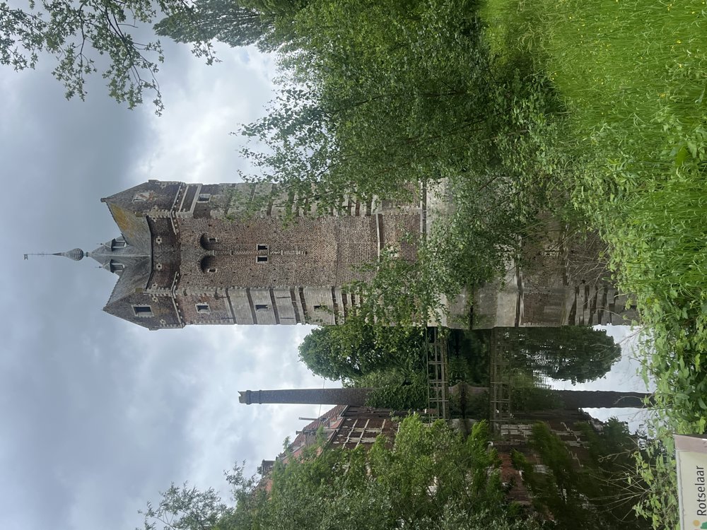
From here, it goes to Haacht and along the Demer to Werchter. Time for a first stop in Haacht or Werchter? Continue a bit further along the Demer to cycle through Plas of Rotselaar to Aarschot.

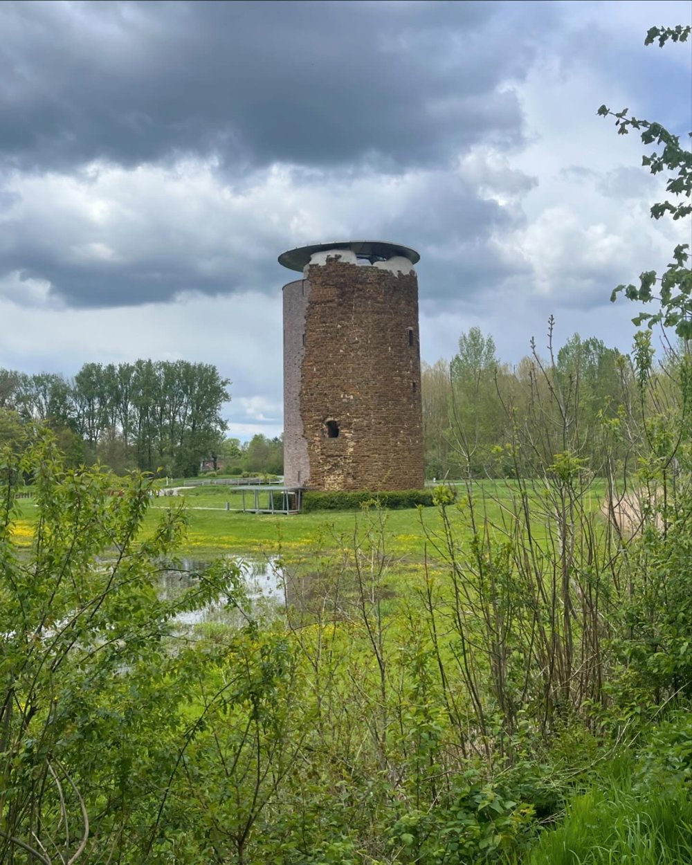
We continue to follow the Demer to Langdorp where we dive into the woods to arrive in Testelt. On to Zichem with its Maagdentoren and to the Basilica of Scherpenheuvel, maybe a second stop here.

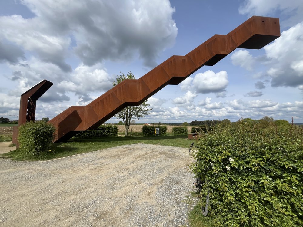
Along beautiful winding roads, we make our way to the Vlooybergtoren where a magnificent view awaits us. On our way back to Leuven, we still pass the beautiful Abbey of Vlierbeek, very much worth a short stop.

automatic translation

Icon nodes to follow nodes to follow

Image node 33
0 km
Image node 12
0.7 km
Image node 93
2.1 km
Image node 31
5.2 km
Image node 35
6.1 km
Image node 30
9.2 km
Image node 72
10.9 km
Image node 26
12.5 km
Image node 27
13.9 km
Image node 29
16.1 km
Image node 83
19.7 km
Image node 23
20 km
Image node 99
22.6 km
Image node 25
22.8 km
Image node 71
26.4 km
Image node 67
28.4 km
Image node 66
31.6 km
Image node 66
31.8 km
Image node 62
36.7 km
Image node 17
38.1 km
Image node 92
40.1 km
Image node 11
40.4 km
Image node 50
43.3 km
Image node 49
43.6 km
Image node 9
45.3 km
Image node 10
45.9 km
Image node 15
46.3 km
Image node 51
47.1 km
Image node 3
49.8 km
Image node 80
55.2 km
Image node 56
55.3 km
Image node 81
56.7 km
Image node 57
59.1 km
Image node 57
59.2 km
Image node 59
62.7 km
Image node 93
65.6 km
Image node 92
68 km
Image node 91
70.1 km
Image node 52
73.2 km
Image node 25
74.1 km
Image node 24
77.3 km
Image node 73
79.5 km
Image node 73
80 km
Image node 27
81.6 km
Image node 27
81.6 km
Image node 27
81.6 km
Image node 28
83.1 km
Image node 74
84 km
Image node 75
86.8 km
Image node 45
90.3 km
Image node 65
93.3 km
Image node 98
94.2 km
Image node 99
95 km
Image node 29
97.1 km
Image node 83
100.5 km
Image node 5
103.9 km
Image node 80
104.9 km
Image node 33
105.6 km
This route has 1 review(s).
Rate route!

Wednesday, July 17, 2024 by R.E.Beautiful route I have cycled. Best with cross bike or thick tire for wheelers. Thank you for sharing the route was nice and quiet more nature though
automatic translation

Which POI do you want to show on the map?

Experimental cycling network
Unsigned icon

The route you have chosen runs (partly) along an experimental virtual cycling node network (the blue-coloured nodes and sections on the map).

You must be logged in to plan routes here.

Experimental cycling network
Unsigned icon

The route you have chosen runs (partly) along an experimental virtual cycling node network (the blue-coloured nodes and sections on the map).

These routes are not controlled in the field. Before you start cycling here, take a minute to read what an experimental cycling node network is and what rules you should follow when cycling here.