 Biking
 Login
Login More
More EN
EN Premium
Pool of Peace Route
automatic translation
33.8 km • Ypres
9333 0 0/5

 Addresse starting point (approximate)
Goesdamstraat 23, 8900 Ieper, BE
 signage
The route is fully signposted with nodes.
 Description
We start in Ypres in the area around the station (free parking available behind the station).
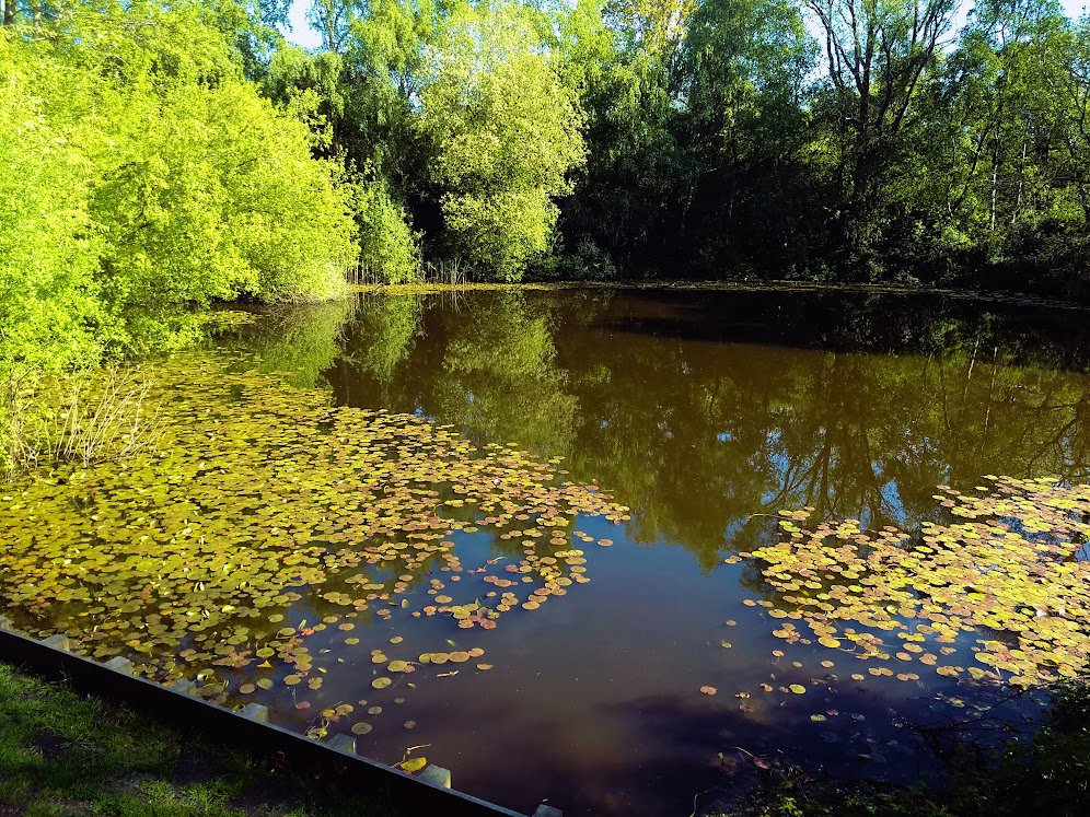
Via a beautiful bike path along the Ypres ramparts, we ride past the Zillebeke pond. A little further on, we see the “Sanctuary Wood Museum”.
Now Hill 62 awaits us (the top is about 62 meters high, the hill is known from World War I).
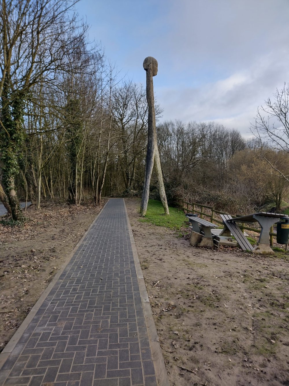
We cross the Gasthuis woods and the villages of Hollebeke and Wijtschate (known from the series “Eigen Kweek”).
A few kilometers past the church, we reach the title of this tour, the “Pool of Peace” or the Spanbroekmolen crater (this is a mine crater in the Belgian village of Wijtschate. The crater was created in 1917 during World War I during the Second Battle of Messines). A lovely and quiet piece of nature here; be sure to step off.
And now on to the highest point of our tour: the Kemmelberg. We leave the summit aside for now as it is really for the better cyclist.
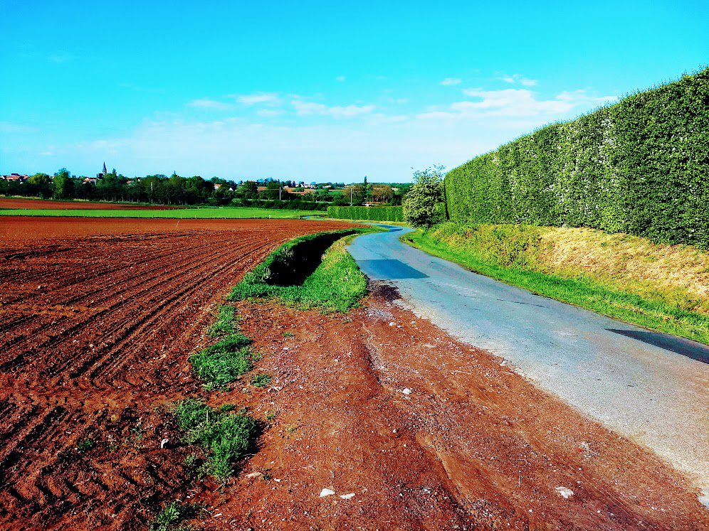
Through Kemmel, we ride along quiet roads with wonderful vistas back to Ypres.
automatic translation
 nodes to follow
0 km
0.1 km
2.2 km
4.8 km
6.6 km
8 km
8.7 km
8.7 km
11 km
12.2 km
12.4 km
14.3 km
17.8 km
17.8 km
17.9 km
19.7 km
22.9 km
23.6 km
24.5 km
24.7 km
27.5 km
28.6 km
32.7 km
33.4 km
33.4 km
33.8 km


 Upgrade to Premium Plus
