 Biking
 Login
Login More
More EN
EN Premium
Woudrichem, the left bank of the Merwede Canal
automatic translation
21.4 km • Gorinchem
4400 0 0/5

 Addresse starting point (approximate)
Eind 19a, 4201 CP Gorinchem, Netherlands
 signage
The route is fully signposted with nodes.
 Description
Via the Merwede Bridge, you reach the left bank of the Boven-Merwede. The bike path on this bridge is right next to a busy road.
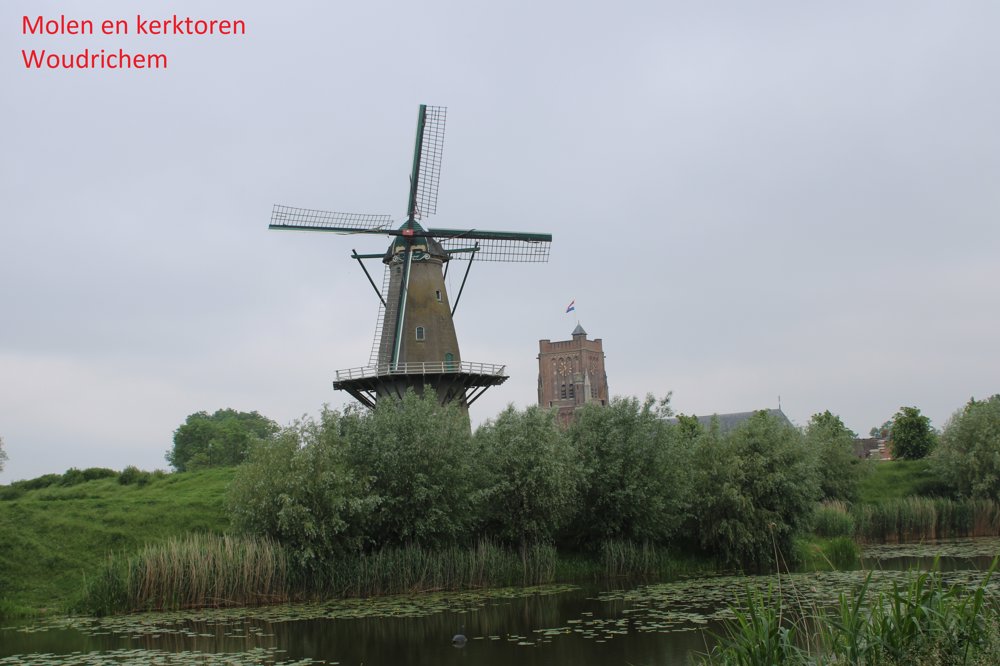
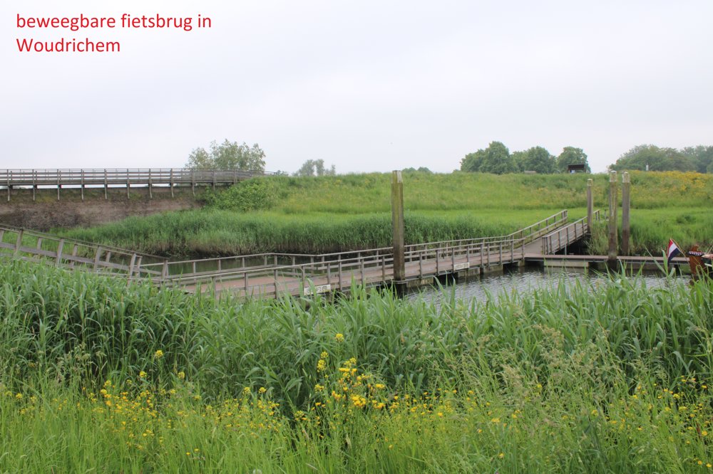
After that, it becomes a bike ride through beautiful nature. Alongside the dyke you are cycling on, there are villas with thatched roofs. From afar, you can see the robust church tower and the windmill of Woudrichem, a small village you reach via a movable bike bridge.
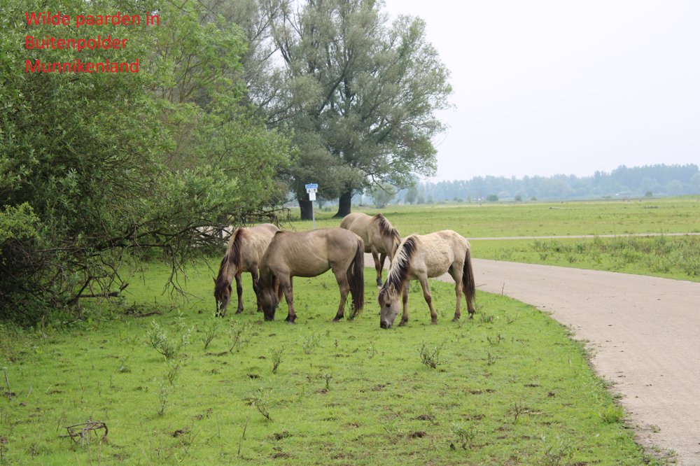
Further on, you cycle through a nature reserve, Buitenpolder Munnikenland. A marshy area where a colony of swans lives. Wild horses also graze here.
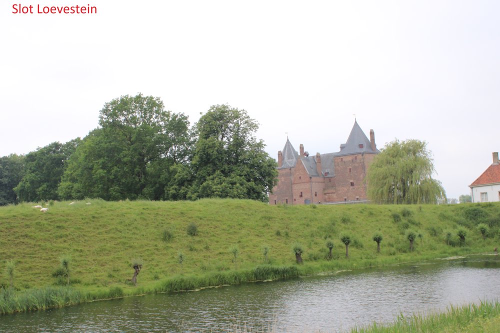
At Slot Loevestein, you can take the ferry to Gorinchem, but only on weekends or during school holidays. On other days, you either have to take the water taxi or return to Woudrichem via a smaller transfer boat and from there take the ferry to Gorinchem, which operates daily.
automatic translation
 nodes to follow
0 km
0.5 km
2.6 km
4.2 km
5.6 km
7.4 km
9.2 km
9.5 km
11.6 km
13.9 km
14.6 km
15.1 km
15.9 km
18.8 km
19 km
19.1 km
20.2 km
20.6 km
20.9 km
21.4 km


 Upgrade to Premium Plus
