 Biking
 Login
Login More
More EN
EN Premium
Stippenberg and the Beestenveld
automatic translation
39.2 km • Gemert-Bakel
2770 0 0/5
39.2 km
0.0 km
0.0 km
10 km
© OpenStreetMap contributors, Tracestrack

 Addresse starting point (approximate)
GRX4+QQ De Rips, Netherlands
 signage
The route is fully signposted with nodes.
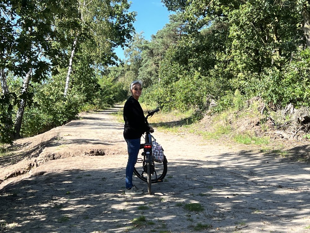
© Robert Mekking
 Description
Plenty of parking opportunities at the start and end points in De Rips.
A very varied route through various forests and around the Bakelse Lakes. Beautiful country roads, mostly paved. The unpaved sections are easily passable. Along the way, there are various inns for a break or picnic benches for self-brought food.
automatic translation
 nodes to follow
0 km
0.1 km
1.1 km
6.1 km
7.6 km
9.6 km
14.2 km
17 km
18.7 km
19 km
19.6 km
23 km
25.6 km
28.2 km
32.6 km
35.4 km
38.1 km
39.1 km
39.2 km


 Upgrade to Premium Plus
