Loading...

't Oventje and the Slingerpad

automatic translation

26.8 km • Maashorst

1040 0 0/5

26.8 km 0.0 km 0.0 km

route offered by

Robert Mekking

Icon starting point Addresse starting point (approximate)

Achter Oventje 5, 5411 NM Zeeland, Netherlands

Icon type signage of route signage

The route is fully signposted with nodes.

5m 5m 5m 5m
Atmosphere image 1 of route 't Oventje and the Slingerpad Atmosphere image 2 of route 't Oventje and the Slingerpad Atmosphere image 3 of route 't Oventje and the Slingerpad
© Robert Mekking

Icon description route Description

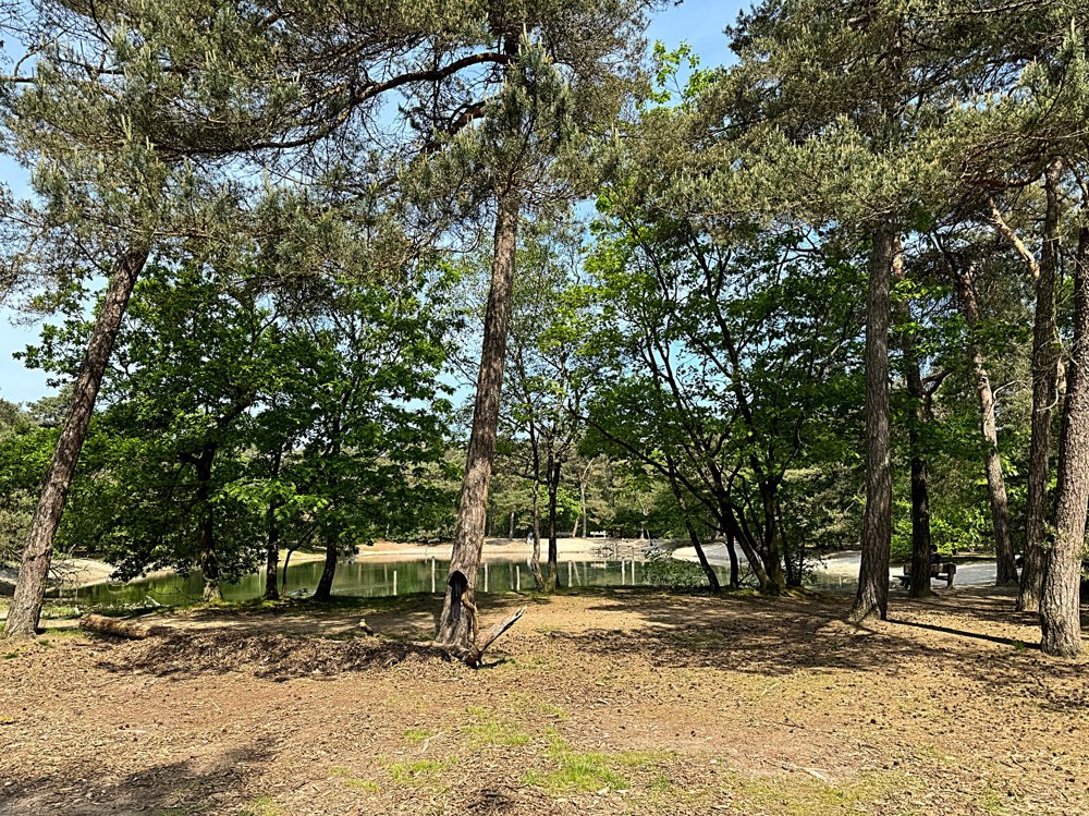
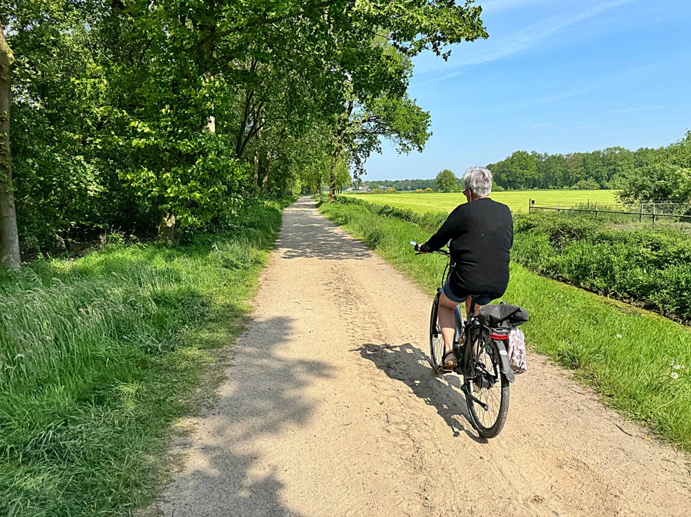
Beautiful cycling route through a relatively unknown part of the Netherlands.

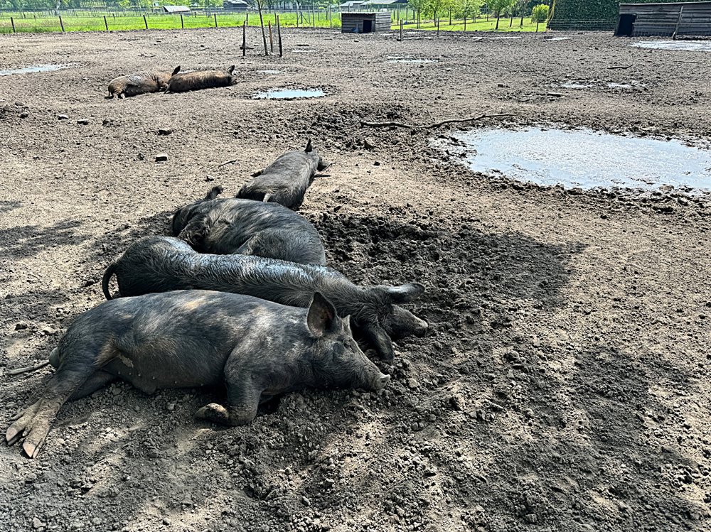
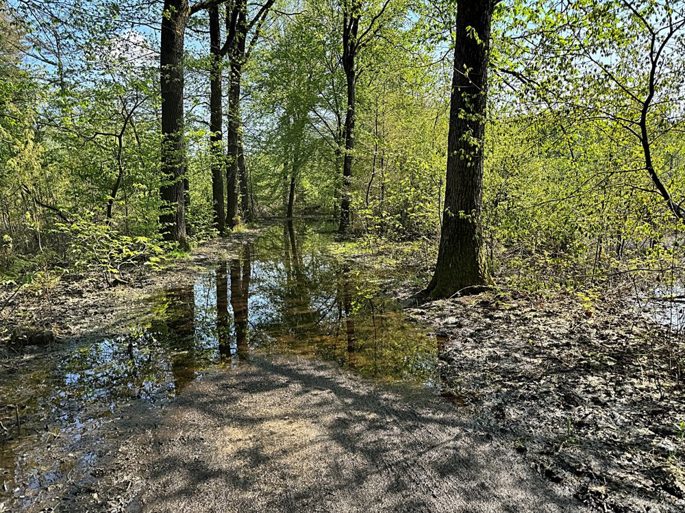
Fine winding paths through forests, over heathlands, along ponds and agricultural landscapes with Dutch vistas. The paths are mostly paved with here and there a well-navigable sand path. In rainy weather, it can sometimes get fairly muddy.

Along the way, there are plenty of picnic opportunities and some inns for a cup of coffee and a snack. At the mill in 't Oventje, you can park well at the inn, and they serve a delicious beer with a nice snack.

automatic translation

Icon nodes to follow nodes to follow

Image node 95
0 km
Image node 94
0.3 km
Image node 40
0.4 km
Image node 93
2.8 km
Image node 93
2.8 km
Image node 93
2.8 km
Image node 56
2.9 km
Image node 92
3.7 km
Image node 91
6.8 km
Image node 66
9.9 km
Image node 45
10.8 km
Image node 65
13.2 km
Image node 44
15.6 km
Image node 44
15.8 km
Image node 68
18.3 km
Image node 54
19.7 km
Image node 55
22.2 km
Image node 56
23.8 km
Image node 56
23.8 km
Image node 56
23.9 km
Image node 93
24 km
Image node 93
24 km
Image node 93
24 km
Image node 93
24 km
Image node 93
24.1 km
Image node 40
26.4 km
Image node 94
26.5 km
Image node 95
26.8 km
This route does not have any reviews yet. Be the first!
Rate route!

Which POI do you want to show on the map?

Experimental cycling network
Unsigned icon

The route you have chosen runs (partly) along an experimental virtual cycling node network (the blue-coloured nodes and sections on the map).

You must be logged in to plan routes here.

Experimental cycling network
Unsigned icon

The route you have chosen runs (partly) along an experimental virtual cycling node network (the blue-coloured nodes and sections on the map).

These routes are not controlled in the field. Before you start cycling here, take a minute to read what an experimental cycling node network is and what rules you should follow when cycling here.