 Biking
 Login
Login More
More EN
EN Premium
Maas Hedgerows route
automatic translation
50.4 km • Land van Cuijk
3250 0 0/5

 Addresse starting point (approximate)
Grotestraat 61, 5836 AC Sambeek, Netherlands
 signage
The route is fully signposted with nodes.
 Description
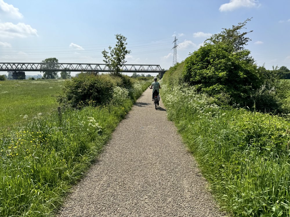
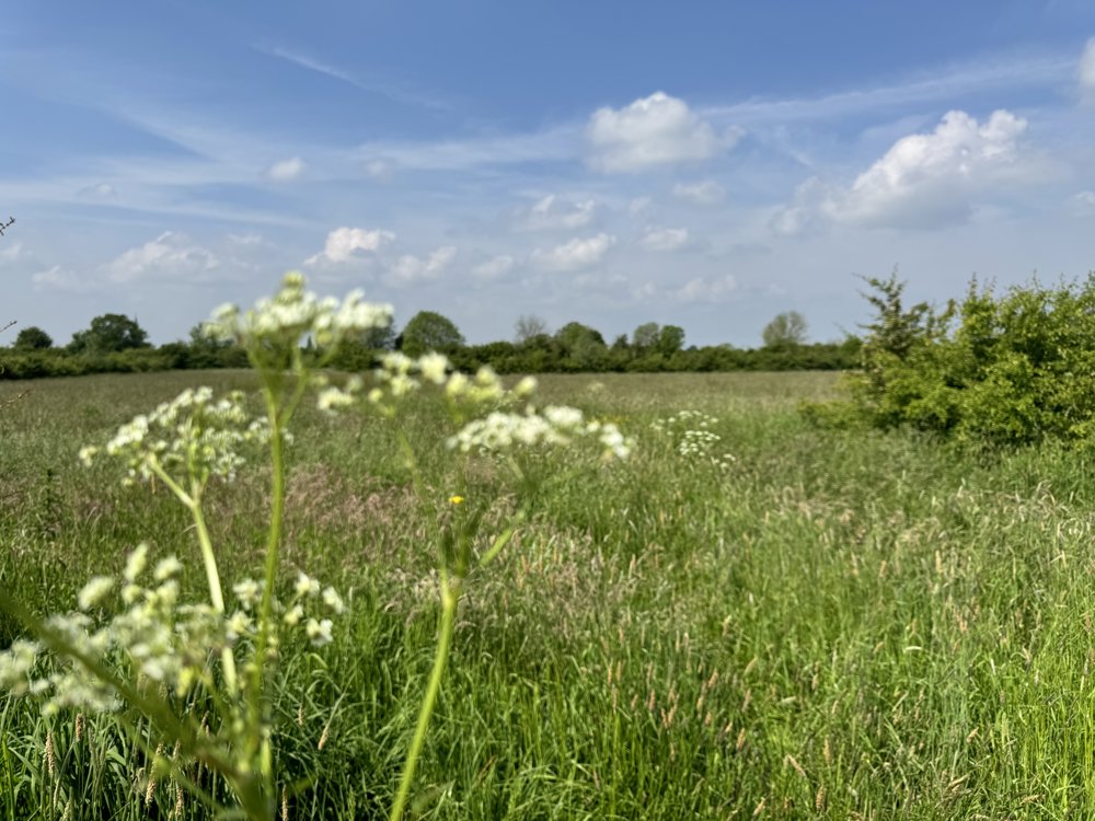
Beautiful route through the Maasheggen (Unesco nature reserve) and over dikes and through forests along the Maas between Boxmeer - Katwijk and Mook - Afferden. Along the way, you'll come across many beautiful picturesque spots, inviting you to dismount and explore further.
In the Maasheggen area, you'll see the many woven hedges, made of living little trees, that have been keeping the cattle in the meadows since the Middle Ages. In the streams and small lakes along the way, there's a good chance you'll encounter beavers. There are plenty of rest stops, as well as terraces for a drink or a snack.
Most of the route is on paved bike paths and there are no hills or tough sections along the way. The route can easily be shortened to 42 km by taking the bridge at Gennep over the Maas.
automatic translation
 nodes to follow
0 km
1.3 km
1.3 km
2.5 km
4 km
6.5 km
8.7 km
10.7 km
13 km
14.9 km
14.9 km
15.8 km
16.5 km
16.5 km
19.1 km
19.9 km
20 km
21.8 km
23.5 km
26.4 km
27.1 km
29.2 km
31.6 km
31.7 km
32.1 km
34.7 km
35.1 km
36.9 km
37 km
37 km
38.1 km
38.9 km
39.1 km
39.4 km
40.5 km
44 km
44.7 km
46.1 km
48.5 km
50.4 km


 Upgrade to Premium Plus
