 Biking
 Login
Login More
More EN
EN Premium
Pajottenlandroute
78.6 km • Galmaarden
 official route
1.2220 0 0/5
78.6 km
0.0 km
0.0 km
10 km
© OpenStreetMap contributors, Tracestrack
route offered by
 Addresse starting point (approximate)
Andreas Masiusplein, Lennik
 signage
The route is fully signposted with nodes.
© Toerisme Vlaams-Brabant
 Description
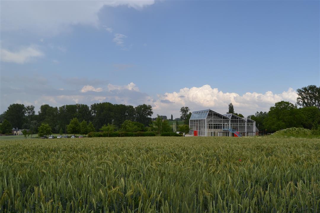
This spirited bike route takes you past many hotspots of the Pajottenland. Climb the Congoberg and Kesterheide, pass heritage gems such as the Woestijnkapel and Bree-Eik farmstead, stop in charming villages and enjoy the rolling landscapes.
This route is offered by the municipalities of Roosdaal, Galmaarden, Herne, Gooik, Pepingen and Lennik, and Tourism Flemish Brabant.
automatic translation
 nodes to follow
0 km
1.1 km
4.6 km
5.3 km
6.9 km
8 km
9.3 km
13 km
17.1 km
18.3 km
22 km
23.3 km
25.4 km
27.5 km
27.9 km
29.5 km
32.1 km
34.5 km
38.1 km
39.8 km
40.1 km
43.4 km
44.6 km
49.2 km
52.5 km
52.5 km
54 km
55.4 km
56.1 km
57.1 km
57.9 km
60.8 km
61.1 km
64.2 km
65.1 km
66.9 km
67 km
67.4 km
68.7 km
72.4 km
74.1 km
75.2 km
75.2 km
78.3 km


 Upgrade to Premium Plus
