 Biking
 Login
Login More
More EN
EN Premium
Ovelo – Land of Sankt Vith
28.1 km • Sankt Vith
 official route
5480 0 0/5
 Addresse starting point (approximate)
Vennbahnstraße 2, 4780 Sankt Vith
 signage
The route is fully signposted with nodes.
 Description
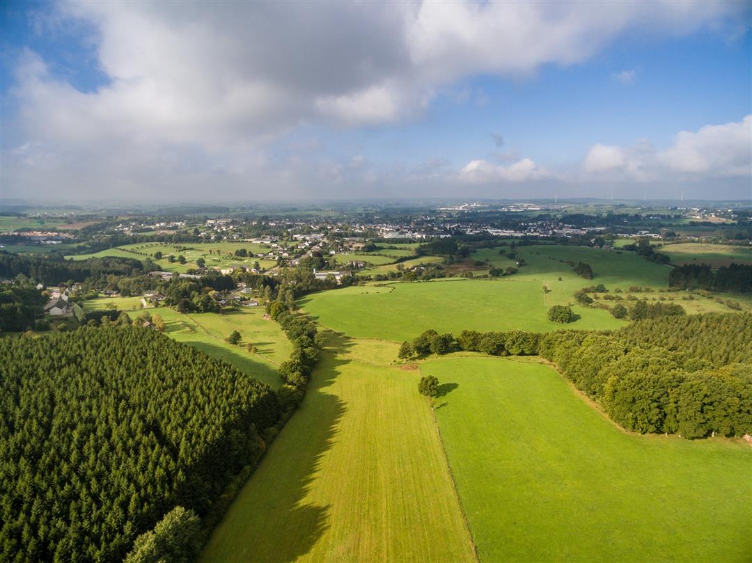
For the first 10 km, you ride on the Vennbahn towards Waimes. On the other side of the bushes, some lower-lying marsh areas, which are under conservation, lie along the former railway line. You go through them before you leave the Vennbahn towards Recht. Beyond the village, the large Emmelserwald awaits you. It’s uphill here. At an elevation of 580 m, on the southern edge of this area, you come across a café, also known as a beer museum on account of its unusual decoration, which consists of innumerable beer bottles from all over the world. It's part of the village of Rodt, through which you then pass shortly afterward on your way to Neundorf, a suburb of Sankt Vith. Neundorf's snow-white village church and the railway viaduct are major features of this place.
Junction nodes : 84 > 50 > 35 > 39 > 32 > 34 > 48 > 56 > 160 > 169 > 66 > 52 > 49 > 84
 nodes to follow
0 km
0.8 km
5 km
6.4 km
7.3 km
8.4 km
10.3 km
12.9 km
17.8 km
18.9 km
23.4 km
25.1 km
27.6 km
28 km


 Upgrade to Premium Plus
