 Biking
 Login
Login More
More EN
EN Premium
Ovelo – From the Weser dam to the Vennbahn
45.1 km • Eupen
 official route
7740 0 0/5
 Addresse starting point (approximate)
Ternell 2-3, 4700 Ternell
 signage
The route is fully signposted with nodes.
 Description
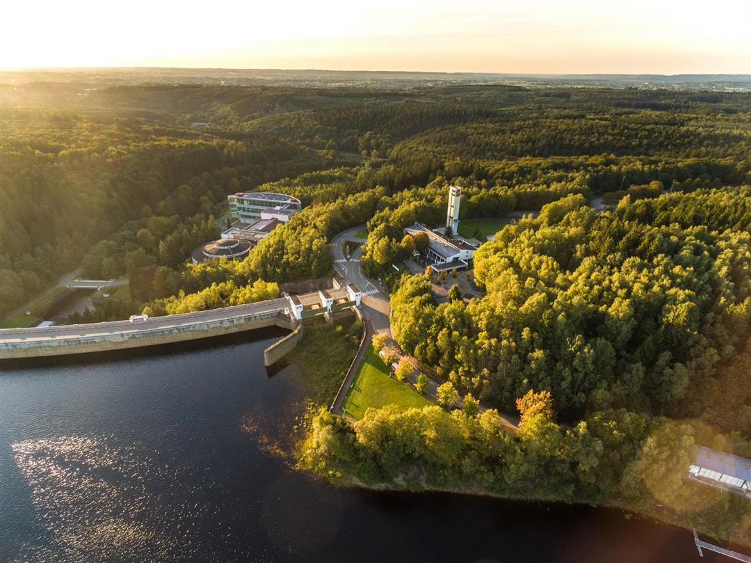
Shortly after Haus Ternell, after just a brief acclimatisation, you set off down the Getzbach valley to the Weser dam. The Getzbach and the Weser feed the reservoir with the very purest peat water. Follow the southern bank of the lake for about four kilometres and enjoy the view far out over the surface of the water. Roetgen (D) is a village in which the houses are rather scattered. So it takes you quite a while to leave the village behind you on the Vennbahn and find yourself riding through Roetgen Forest. It's not until you reach the next village, Lammersdorf, that the landscape opens up again. At the former station of Konzen you enter the Osthertogenwald, which surprises you now and then with open areas of heathland and peat. The Getzbach forms fine lines in the marshy meadow landscape on its way to the Weser dam.
Junction nodes: 54 > 55 > 46 > 28 > 11 > 12 > 16 > 24 > 51 > 50 > 49 > 52 > 53 > 54
 nodes to follow
0 km
0 km
2.9 km
8.9 km
13.7 km
17.1 km
18.4 km
21 km
26 km
26 km
29.9 km
30 km
30.4 km
31.1 km
32.3 km
34.9 km
39.2 km
41.1 km
45.1 km


 Upgrade to Premium Plus
