 Biking
 Login
Login More
More EN
EN Premium
Ovelo - Between Our and Amel
36.4 km • Sankt Vith
 official route
6064 1 4/5
 Addresse starting point (approximate)
Vennbahnstraße 2, 4780 Sankt Vith
 signage
The route is fully signposted with nodes.
 Description
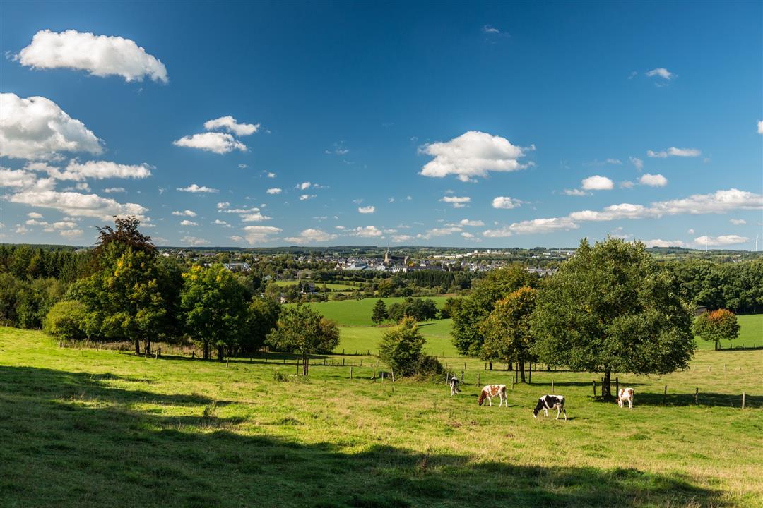
The first 10 km of the route is a continuous uphill climb to reach the elevated village of Meyerode. You then make your way into the valley of the Our, with which you become acquainted in Schönberg. After an idyllic section of 5 km above the Our, the river shows itself off to its best advantage before reaching the village of Setz. You can let your eyes wander across the sprawling valley before you. The flat course of the path here in the valley enables you to gaze into the distance beyond the edges of the path.
In Steinebrück, the 80-metre-high motorway viaduct of the E42 Verviers-Prüm spans the Our valley. The imposing structure makes the valley appear even bigger. Then you continue along the Vennbahn cycle path to Sankt Vith. You pass the (former) railway of Lommersweiler and ride through a tunnel. The former railway line (Vennbahn) was constructed in the valley of the Braunlauf. The cycle path, however, runs along a normal road from Neidingen. In Wiesenbach you return to the original railway track where you can enjoy a safe and quiet ride to the town of Sankt Vith.
Junction nodes: 50 > 38 > 40 > 37 > 13 > 41 > 42 > 43 > 83 > 55 > 54 > 46 > 47 > 84 > 50
 nodes to follow
0 km
0.8 km
7.4 km
8.9 km
9.4 km
10.7 km
17.6 km
17.7 km
22.5 km
26.9 km
28.7 km
30.3 km
33.5 km
34 km
36.4 km


 Upgrade to Premium Plus
