 Biking
 Login
Login More
More EN
EN Premium
Ovelo - Along the Weser through the Hertogenwald
48 km • Eupen
 official route
9102 0 0/5
 Addresse starting point (approximate)
Rotenbergplatz, 4700 Eupen
 signage
The route is fully signposted with nodes.
 Description
Eupen, situated by the Weser and at the edge of the Hertogenwald, is today the capital of the German-speaking community of Belgium. The town developed during the 18th and 19th centuries thanks to the extremely soft, pure water from the High Fens. This water proved to be very suitable for washing wool (fabric). Dozens of weavers settled here, setting up their weaving studios and warehouses, and within a very short time the town experienced an unprecedented economic upturn. To this day, the grand mansions of wealthy cloth dealers can still be seen all over the town. This is where your tour starts.
On the way to Raeren you cycle along a country road with sprawling meadows to your left and dense wooded areas to your right. Raeren is home to a remarkable moated castle flanked by historical houses.
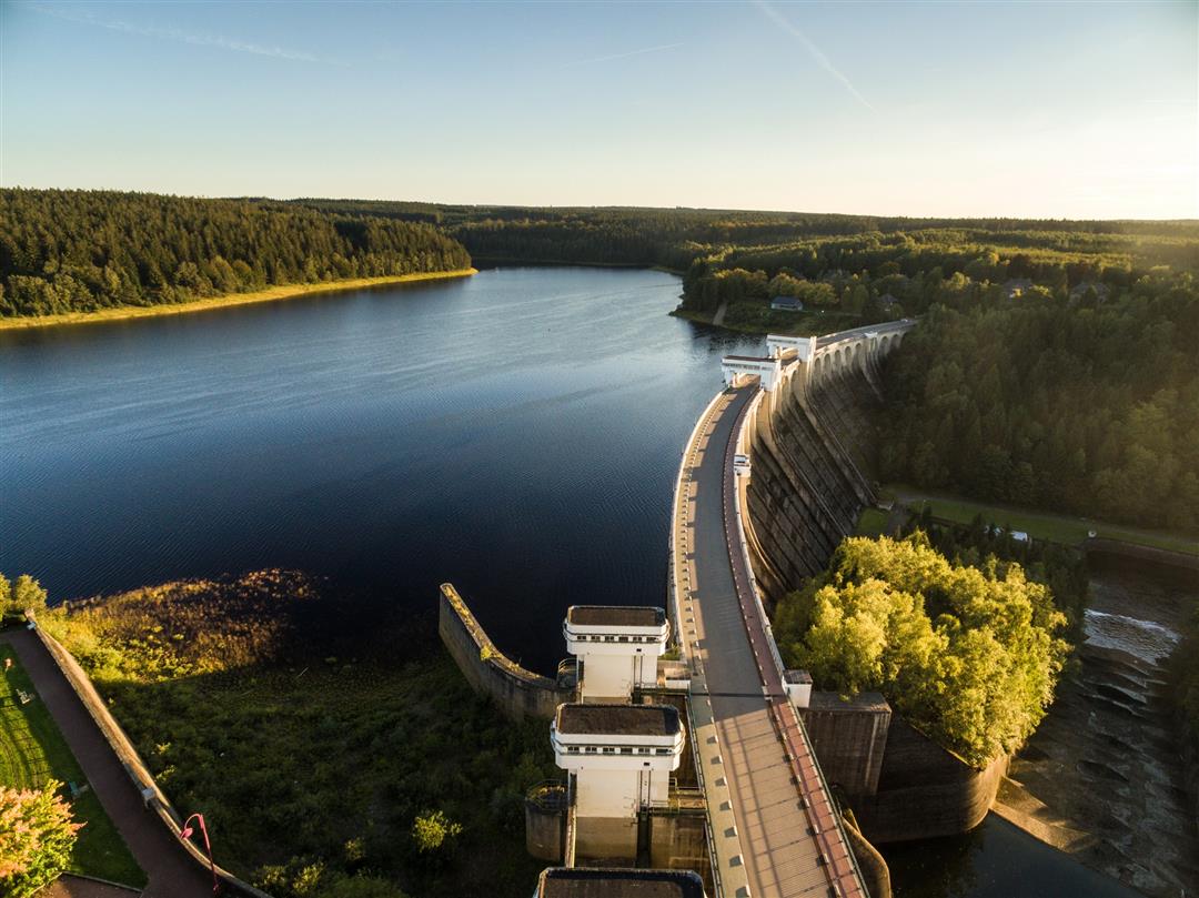
Just a short while later, you reach the Vennbahn leading you to an uninhabited woodland area. The former railway line winds its way prettily through the expansive Raeren forest until you come to Roetgen on the German side. You leave the Vennbahn and cycle through the forest alongside the Weser until you reach the reservoir. From here, you continue your journey down into the valley and back to Eupen.
Junction nodes : > 45 > 30 > 29 > 48 > 9 > 11 > 46 > 43 > 42 > 41 > 40 > 58 > 38 > 35 > 34 > 45
 nodes to follow
0 km
2.2 km
4.7 km
6.3 km
7.5 km
13.5 km
16.8 km
21.2 km
24.1 km
26.2 km
26.6 km
30.4 km
32.2 km
36.3 km
39.6 km
39.8 km
41.3 km
48.1 km


 Upgrade to Premium Plus
