 Biking
 Login
Login More
More EN
EN Premium
Ovelo - The High Fens between the Rur and Warche
39.8 km • Waimes
 official route
9192 1 3.5/5
 Addresse starting point (approximate)
route de Botrange 313, 4950 Waimes
 signage
The route is fully signposted with nodes.
 Description
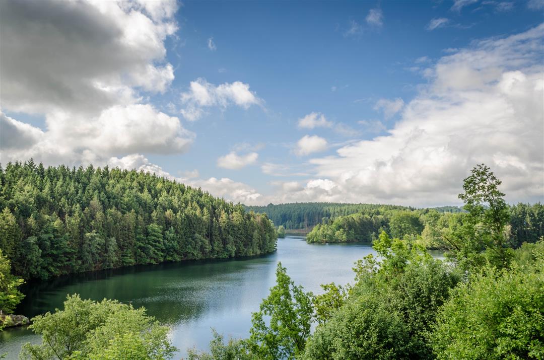
The Botrange Nature Park Centre is the beating heart of the High Fens-Eifel Nature Park situated on Belgian territory. Starting from the visitors’ centre, you cycle through dense forests into the Bayehon valley, which has carved its way deeply into the landscape. You then ride through the open countryside around Robertville. A reservoir was built here on the Warche in the 1920s to provide Malmedy with drinking water. The dam wall is 55 m high and retains almost 8 million m³ of water. The reservoir has meanwhile developed into a tourist attraction and an Eldorado for water sports enthusiasts.
Cows and pastures alternate with quaint and charming hamlets, and you reach the disused railway line when you have crossed the lake for the second time. You follow the Vennbahn cycle path for ten kilometres from the source region of the Rur to Kalterherberg (D). When you reach Sourbrodt, the Vennbahn leads you in solitary fashion through pastureland as far as the eye can see, then alongside areas of the Fens and finally parallel to the burbling Rur. Between Sourbrodt and Leykaul, on the tracks next to the cycle path, you will encounter draisines or railbikes travelling to and fro over a 7-km route.
Junction nodes : 50 > 76 > 77 > 78 > 55 > 89 > 81 > 45 > 44 > 43 > 42 > 38 > 72 > 71 > 86 > 83 > 80 > 51 > 52 > 50
 nodes to follow
0 km
1.9 km
4.3 km
4.4 km
7.1 km
7.6 km
12.5 km
13.7 km
17.5 km
18.1 km
20.2 km
23.3 km
27.4 km
27.5 km
30.3 km
30.8 km
33.3 km
36 km
37.3 km
38.8 km
40 km


 Upgrade to Premium Plus
