 Biking
 Login
Login More
More EN
EN Premium
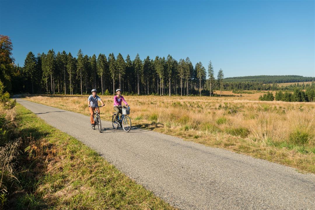
Ovelo - The High Fens in the Eastern Hertogenwald
34.8 km • Bütgenbach
 official route
1.1141 1 4/5
 Addresse starting point (approximate)
Am Breitenbach 35, 4750 Küchelscheid
 signage
The route is fully signposted with nodes.
 Description
The first 12-km stretch along the Vennbahn takes you through German territory. Astonishingly, the 10m wide strip of railway line is Belgian territory, since Germany was made to surrender the cantons of Eupen, Malmedy and Sankt Vith, including the Vennbahn, to Belgium as a consequence of World War One. Boundary stones still lying alongside the former railway line testify to that. You will not come across any further villages and houses after “Entenpfuhl”. The High Fens are the dominant feature over the next 7 km, or more precisely the areas of the General and Imgenbroich Fens. This conservation area was recently returned to its original state as a result of the “Life” project. Left to their own devices, moors naturally develop into woodland. This peatland was renaturalised by felling the exotic grey alder in vast numbers. The Getzbach has its source here at a height of 600 metres. Several kilometres further on, it flows into the Weser reservoir. The only sign of human life in the gigantic Osthertogenwald is the Haus Ternell nature centre, where you can relax over a drink or a snack. The remaining 13 km of the route will take you between tall trees and alongside burbling wild creeks.
Junction nodes : 38 > 27 > 25 > 24 > 51 > 52 > 53 > 54 > 84 > 85 > 63 > 72 > 38
 nodes to follow
0 km
2.2 km
6.9 km
9.8 km
10.9 km
11.6 km
14.7 km
16.6 km
20.6 km
26.1 km
27.6 km
30.7 km
34.6 km
34.7 km


 Upgrade to Premium Plus
